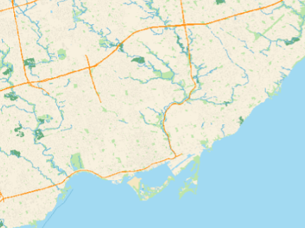
sMaps Geographic Information System
In my Software Communication and Design course (ECE297) at UofT, I collaborated with a team to develop sMaps, a Geographic Information System using C++. Our map software is tailored for new university students, offering features such as a weather widget, detailed point of interest information, and an enhanced path finder. The map was generated on data from OpenStreetMap.
One of our standout features is the point of interest functionality. When a user clicks on a point of interest on the map, it is highlighted in purple, and relevant information is displayed in the terminal window.
Another key feature is the enhanced path finder, which utilizes the A* pathfinding algorithm. Users can activate this feature by clicking on the map or entering directions in the autocomplete search bars. Directions are then presented to the user in a pop-up window, offering seamless navigation assistance.